![]()
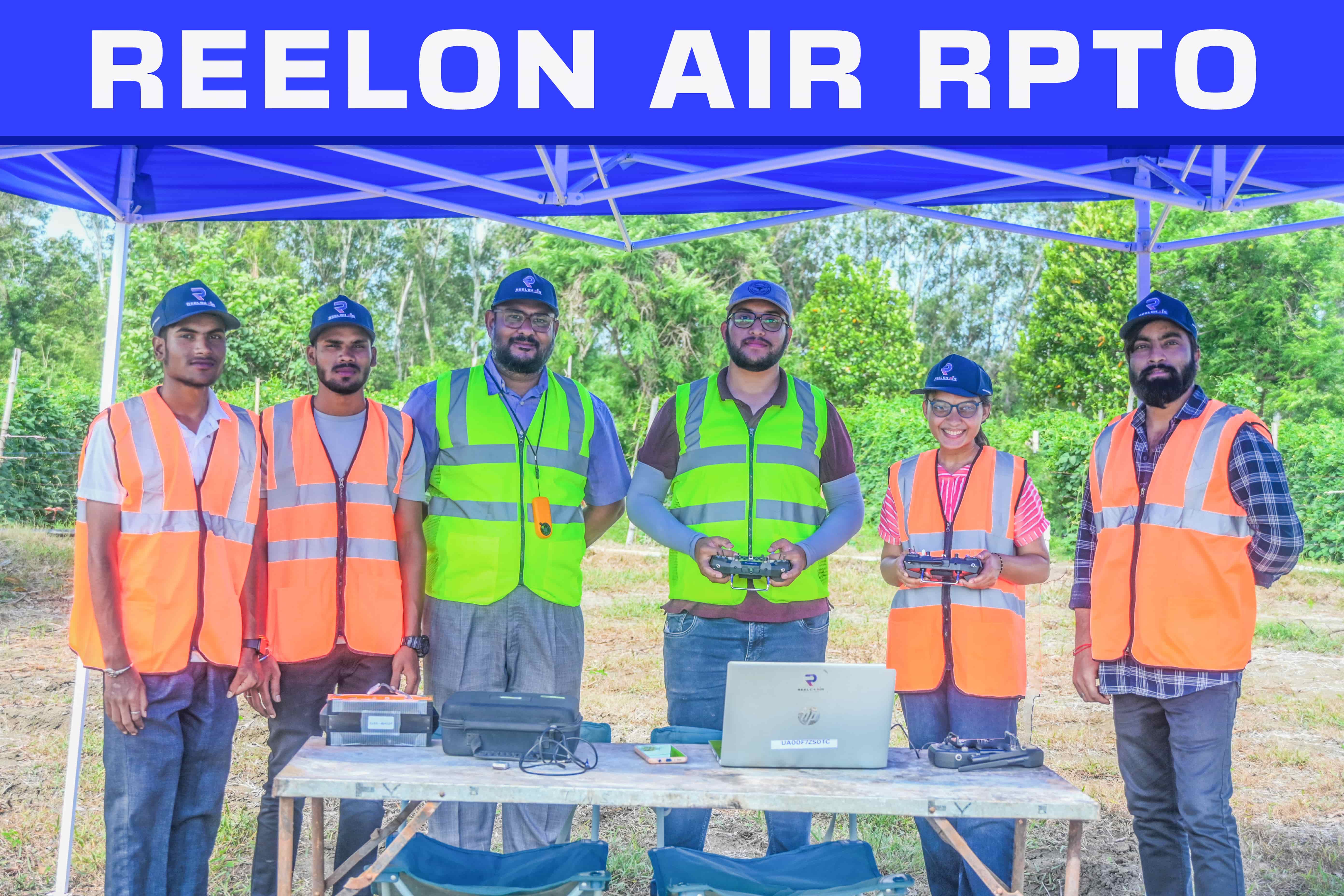
Welcome to Reelon Air Certified Drone Pilot Training Institute
Located in Raipur, Chhattismaintitlegarh, Reelon Air Private Limited is a premier institute for drone training with DGCA approval. With over 5 years of expertise in drone survey and mapping, we specialize in Drones as a Service (DaaS), offering comprehensive training at our state-of-the-art facility..
DGCA Approved: Officially recognized by the Directorate General of Civil Aviation.
Proven Expertise:Over 5 years dedicated to drone survey and mapping.
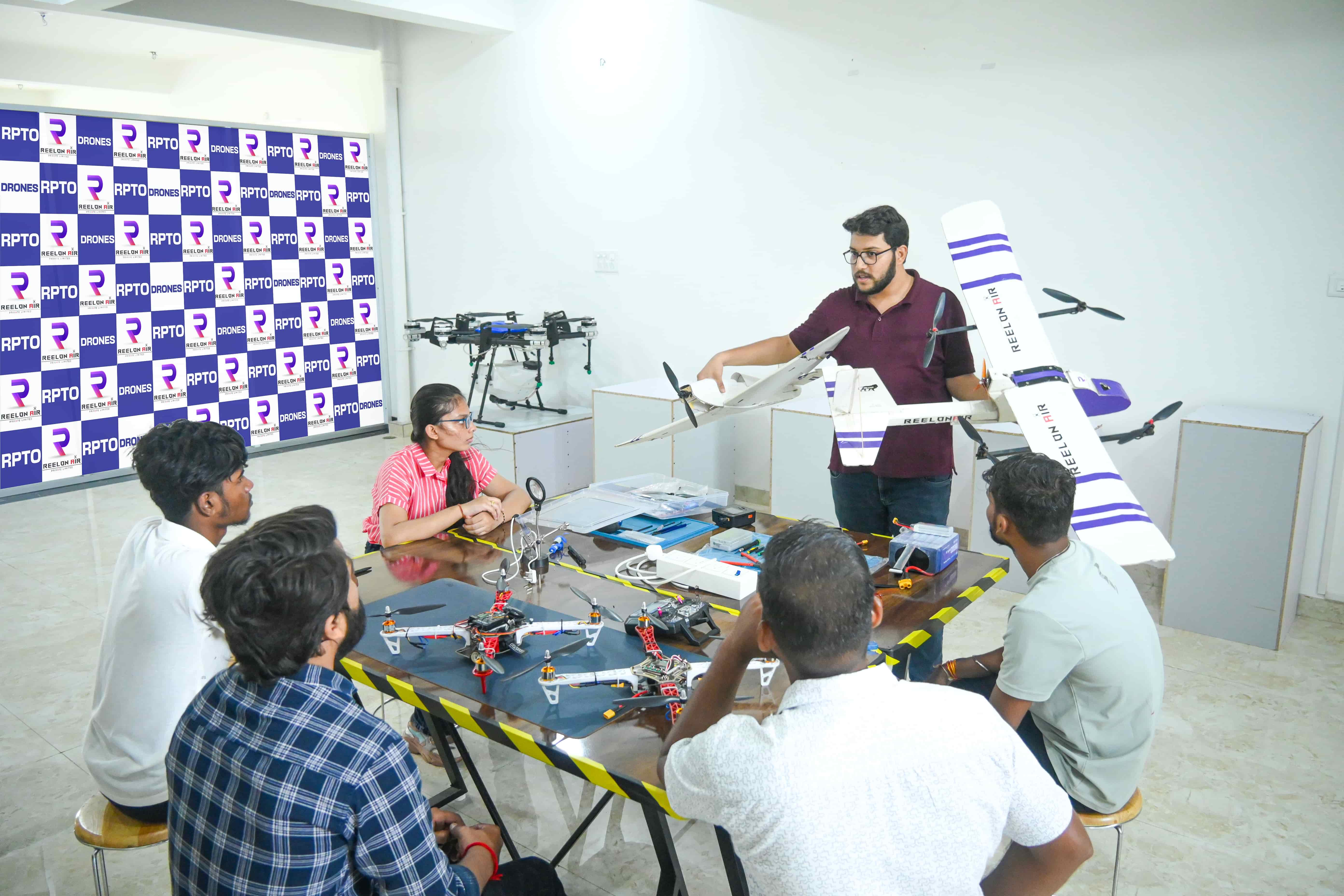
Comprehensive Training:Hands-on experience, simulator classes, and more.
In-House Food and Accommodation Facilities making your training experience comfortable and hassle-free.
Career Support:Free job consultancy and internship opportunities.
Specialized Courses:Includes a free 2-day aerial film-making course.
Excellent Infrastructure:Large flying area, modern classrooms, in-house amenities.
Free 40-Hour Internship at Reelon Air Pvt. Ltd.


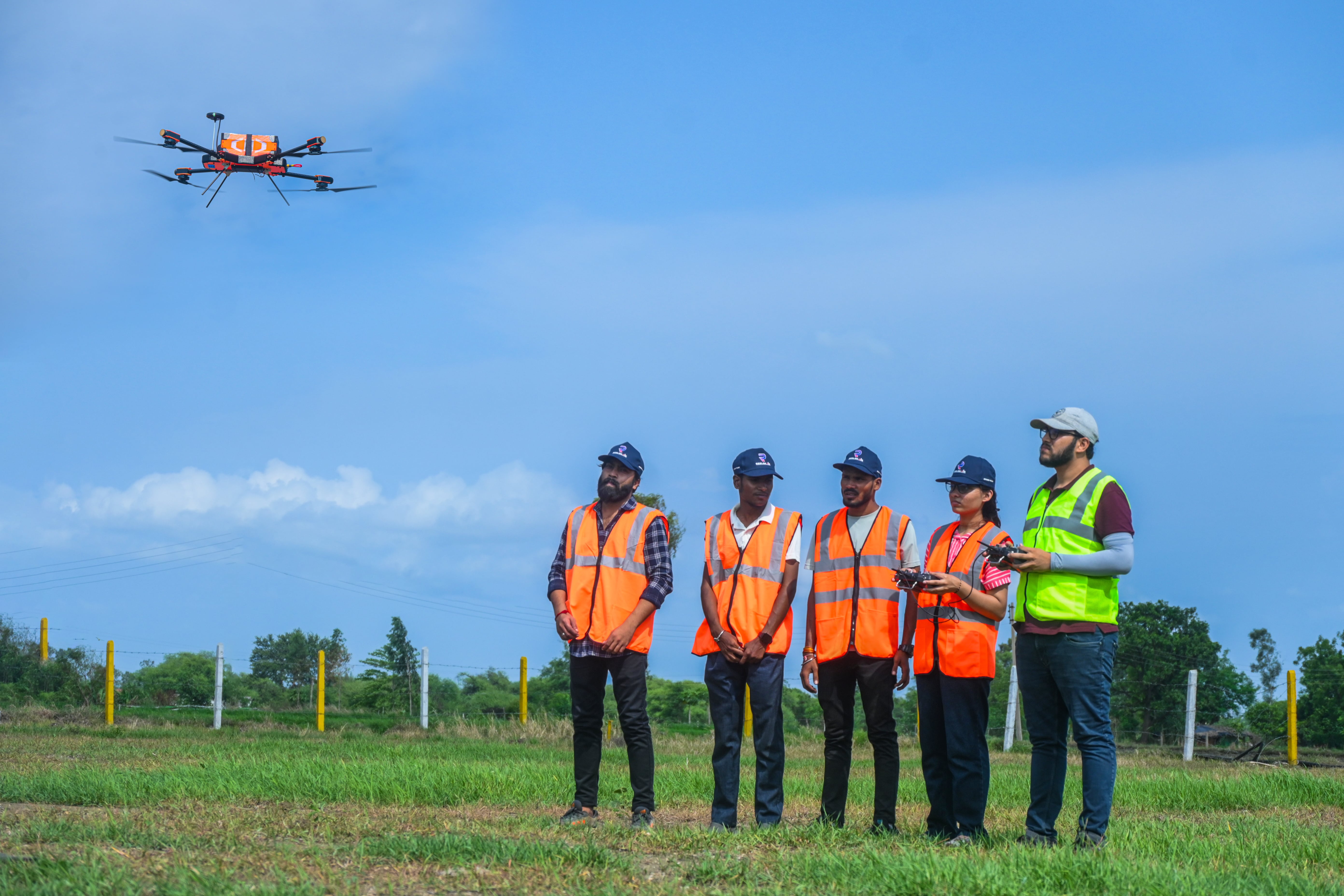
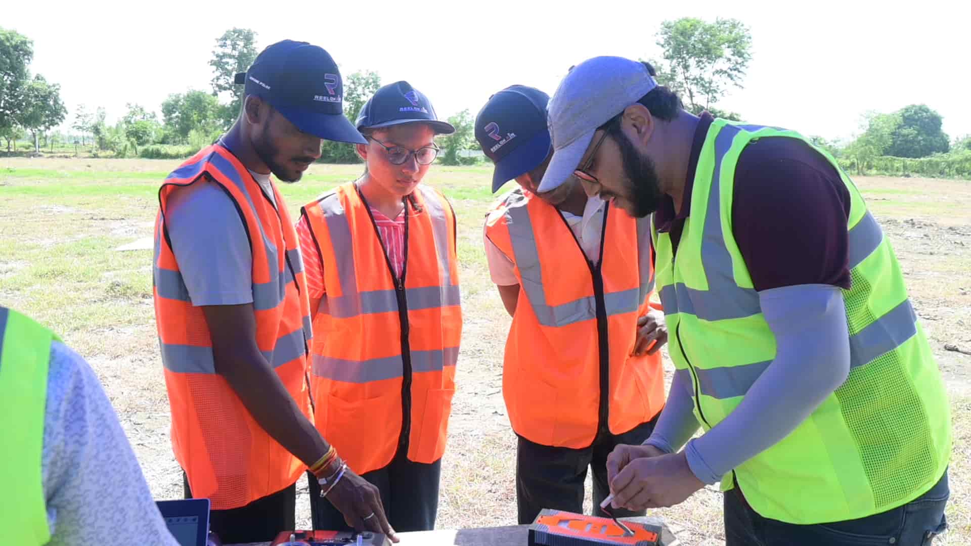
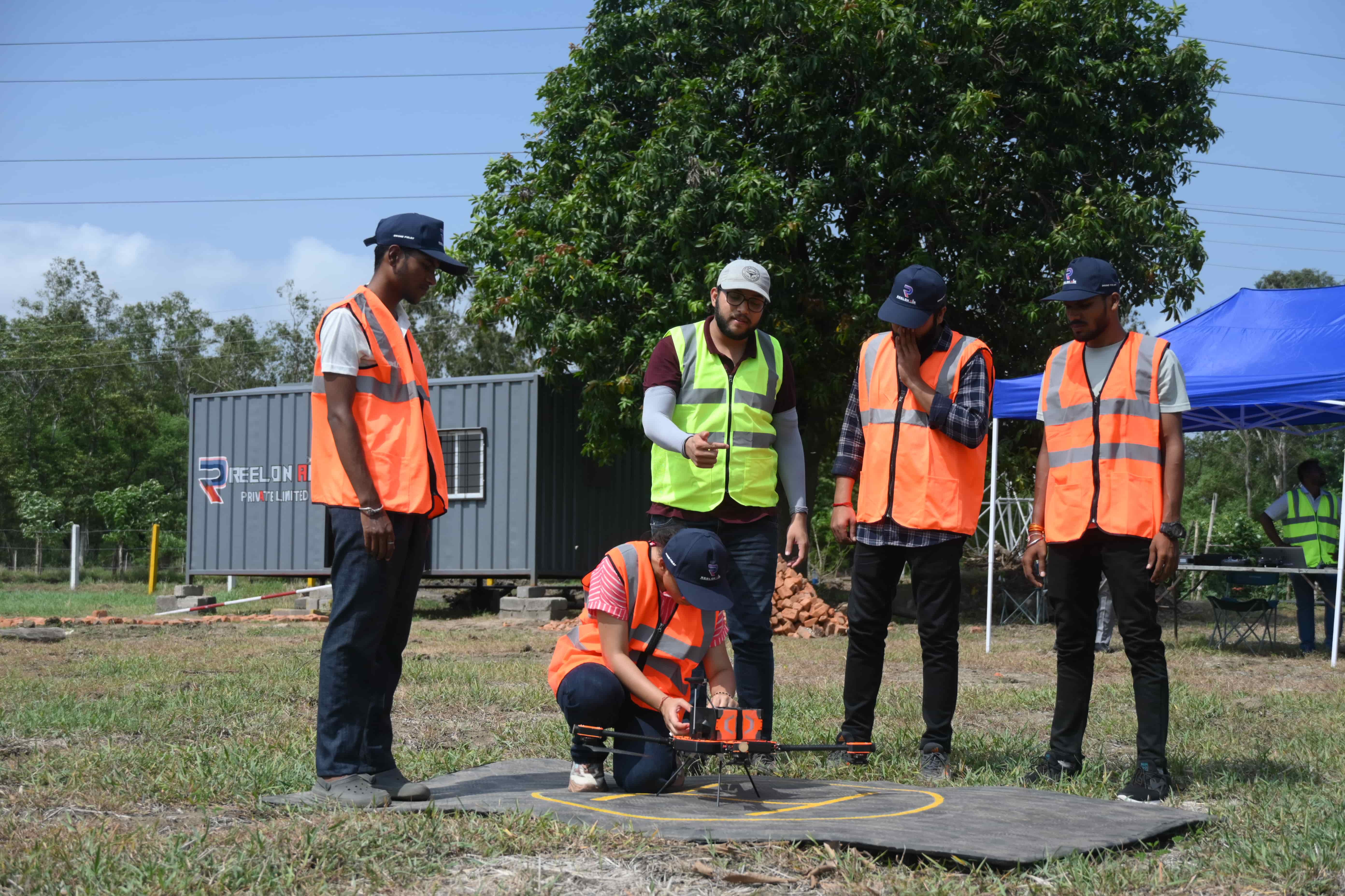
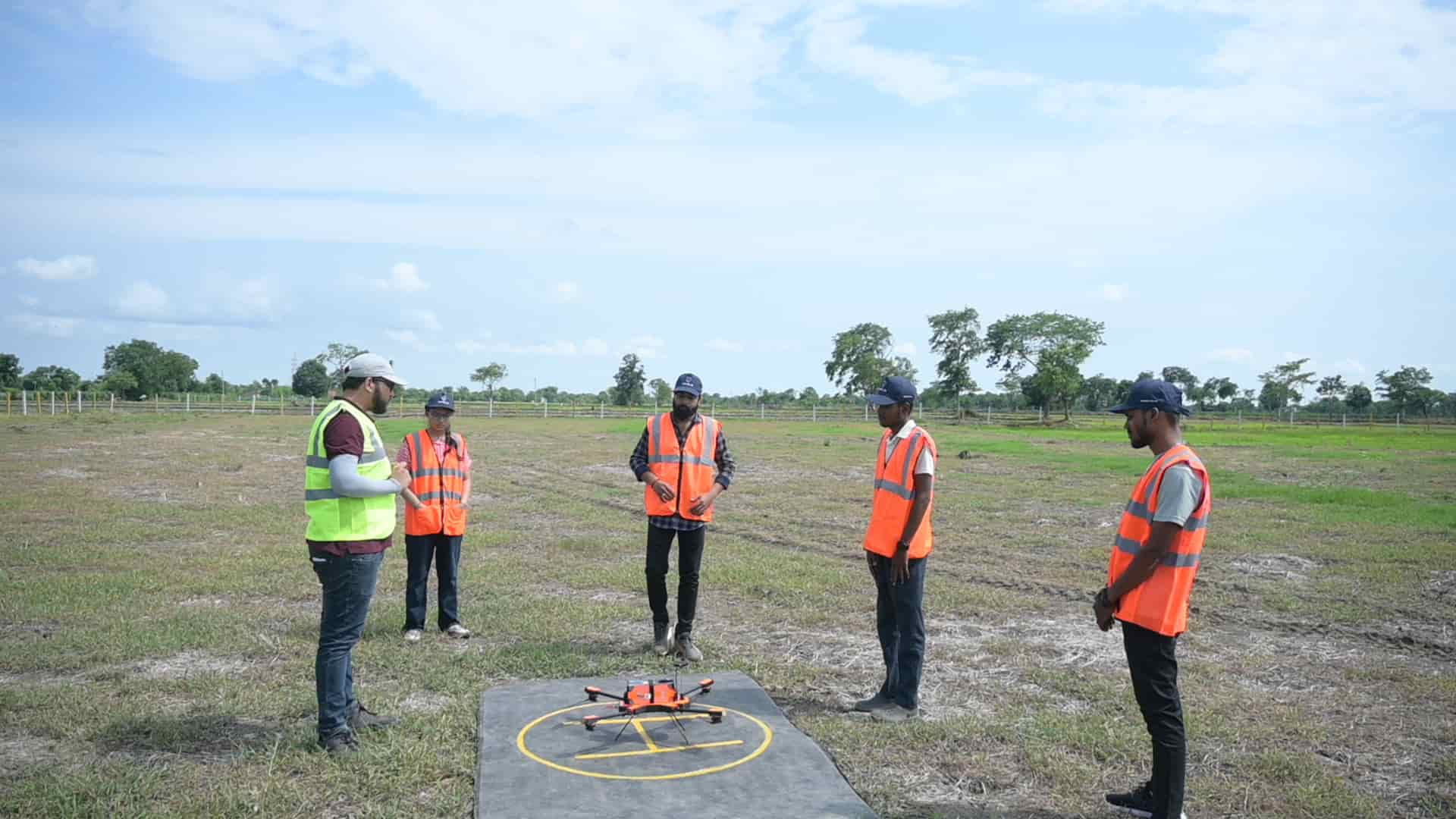
Are you ready to launch your own Drone Surveying business or build a successful career in the Drone Surveying industry? This course is designed for you! Master Aerial Surveying, Ortho-photo generation, Data Processing, Volumetric Calculations, and GCP Marking, specific to drone surveys—all in just 7 days. Join Reelon Air, a DGCA-approved drone pilot institute, and learn through our flexible online or offline training programs. Start your journey toward expertise in drone surveying today!
Learn to automate flight path mission planning and GCP (Ground Control Point) planning.
Learn to automate flight path mission planning and GCP (Ground Control Point) planning.
Master methodologies and equipment settings to achieve centimetre-level accurate data using photogrammetry.
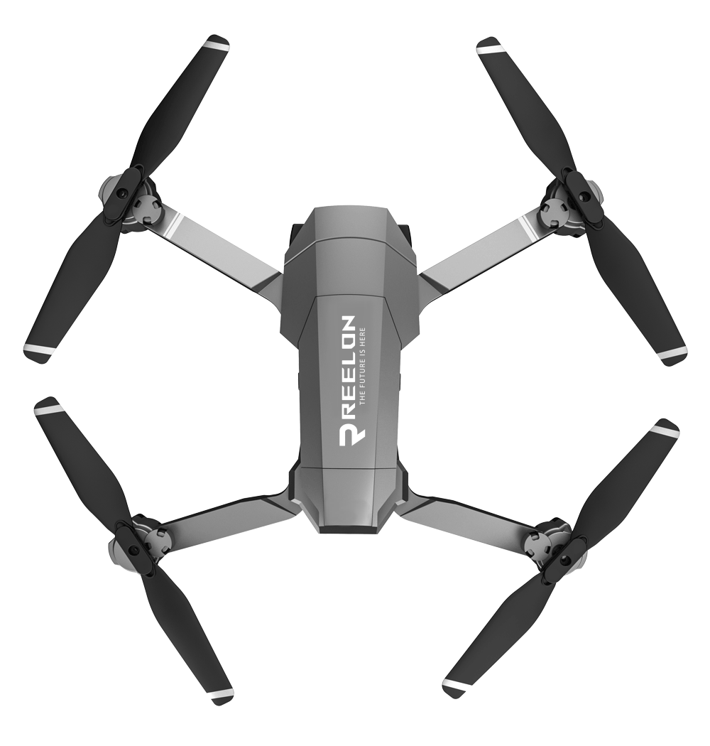
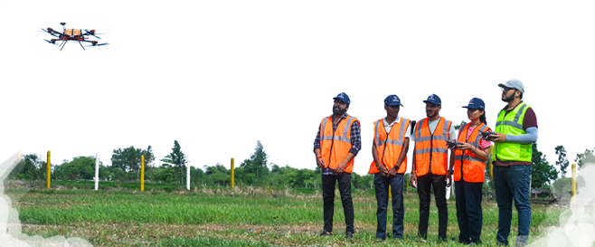
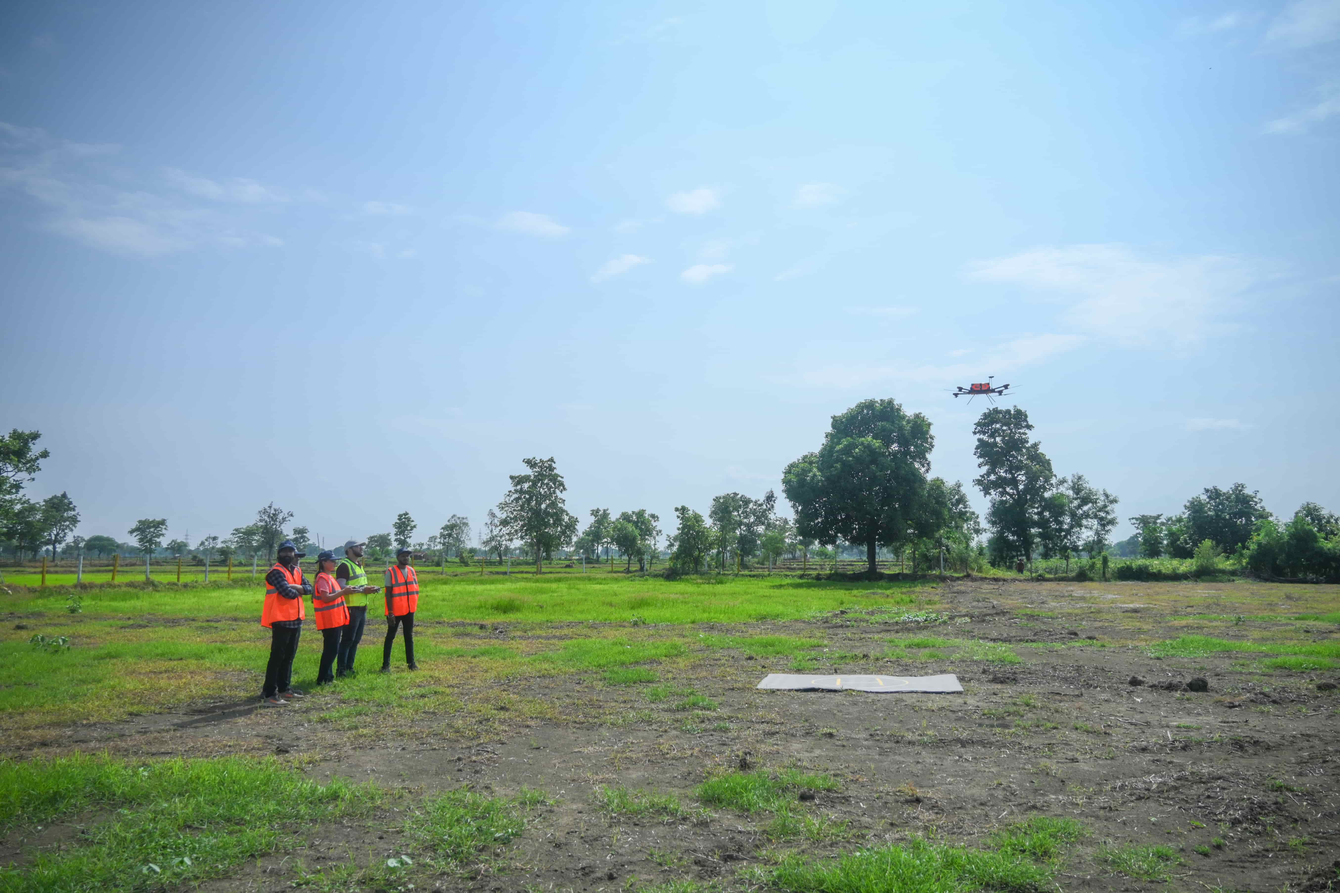
Gain hands-on experience with advanced drone technology.
Industry experts will guide you through photogrammetry data processing.
Learn best practices to enhance accuracy and deliver high-quality survey results.
This training unlocks opportunities in various industries and sectors:
Civil Departments: Efficient topographic surveys and infrastructure planning.
Mining: Accurate mapping for gold, coal, iron, and other resource extraction.
Government Sectors: Work with NTPC, GSI, ASI, and more.
Construction Companies: Enhance project precision for firms like L&T, Reliance Infrastructure, Lodha Group, Punj Lloyd, Sadbhav Engineering, Tata Projects and HCC.
Startups: Kickstart your freelancing career in drone surveys and mapping.
Tonographic Surveys
Drone Mapping
Monitoring
Inspection
Urban Planning
Duration: 7 Days
Mode: Online and Offline
Fees: Rs. 25,000
Location: Raipur
Minimum Qualification: None
Who Can Participate: Anyone with a passion for drones and surveying—no prior experience required
Lodging and Fooding facilities are available
Specialised Drone Institute: Reelon Air is a DGCA-approved RPTO dedicated to drone technology and training, making us the perfect choice for aspiring drone survey professionals.
Expert Guidance: Learn directly from experienced industry experts with hands-on knowledge.
100% Placement Assistance: We ensure you’re industry-ready and help you land theright opportunities.
Comprehensive E-Library: Access an extensive collection of resources on GIS, GPS/GNSS, Remote Sensing, LiDAR, and Spatial Analysis to deepen your expertise.
Job Oriented Carriculam: Our training is designed to meet industry demands and prepare you for real-world challenges.
Real Project Assignments: Gain practical experience by working on real survey projects.
Flexible Learning Options: Choose online or offline modes to fit your schedule.
5+ Years of Experience: Benefit from our extensive experience in drone surveying, ensuring high-quality education and insights.
DGCA-Approved RPTO: Get a head start in the industry by obtaining your DGCA drone pilot license alongside this course.
Check out our gallery of photos and images and see who we are and what we do here.


Copyright © 2023. All Rights Reserved By Reelon. Designed & Developed by Programmics Technology.